Wednesday 10th July 2013
A short afternoon walk along the River Mersey to reach Abney Hall Park on the edge of Cheadle
Distance: 8.5km; Ascent: 70km; Warm and dry; Solo
As I had a couple of hours free this afternoon I decided to head out for a walk along the Mersey to East Didsbury, which would allow me to investigate Abney Hall Park on my return. I wandered through the terraced streets of Edgeley and across a footbridge to reach the Trans Pennine Trail along the north bank.
 |
| Looking downstream from Gorsey Bank Footbridge |
It was pleasantly warm as I walked westwards alongside the river, but I was glad that it was a few degrees cooler than of late! There were plenty of wild flowers around and I soon came to the remains of the bridges that carried a railway line from Stockport to Didsbury and onwards into Manchester city centre, which may one-day be rebuilt to extend the Metrolink tram line from its new terminus at East Didsbury.
 |
| Heading west along the Trans Pennine Trail |
 |
| Remains of an old railway bridge over the Mersey |
I continued downsteam past a rugby club and playing fields to reach Cheadle bridge, where I turned left along the busy B5095.
 |
| Looking downstream towards Didsbury |
 |
| Looking upstream from Cheadle Bridge |
After a few hundred metres I crossed the motorway and turned left into Abney Hall Park. Following the main driveway I soon reached the impressive Abney Hall, which dates from 1847 and according to the park's
website was visited a number of times by Agatha Christie.
 |
| Abney Hall |
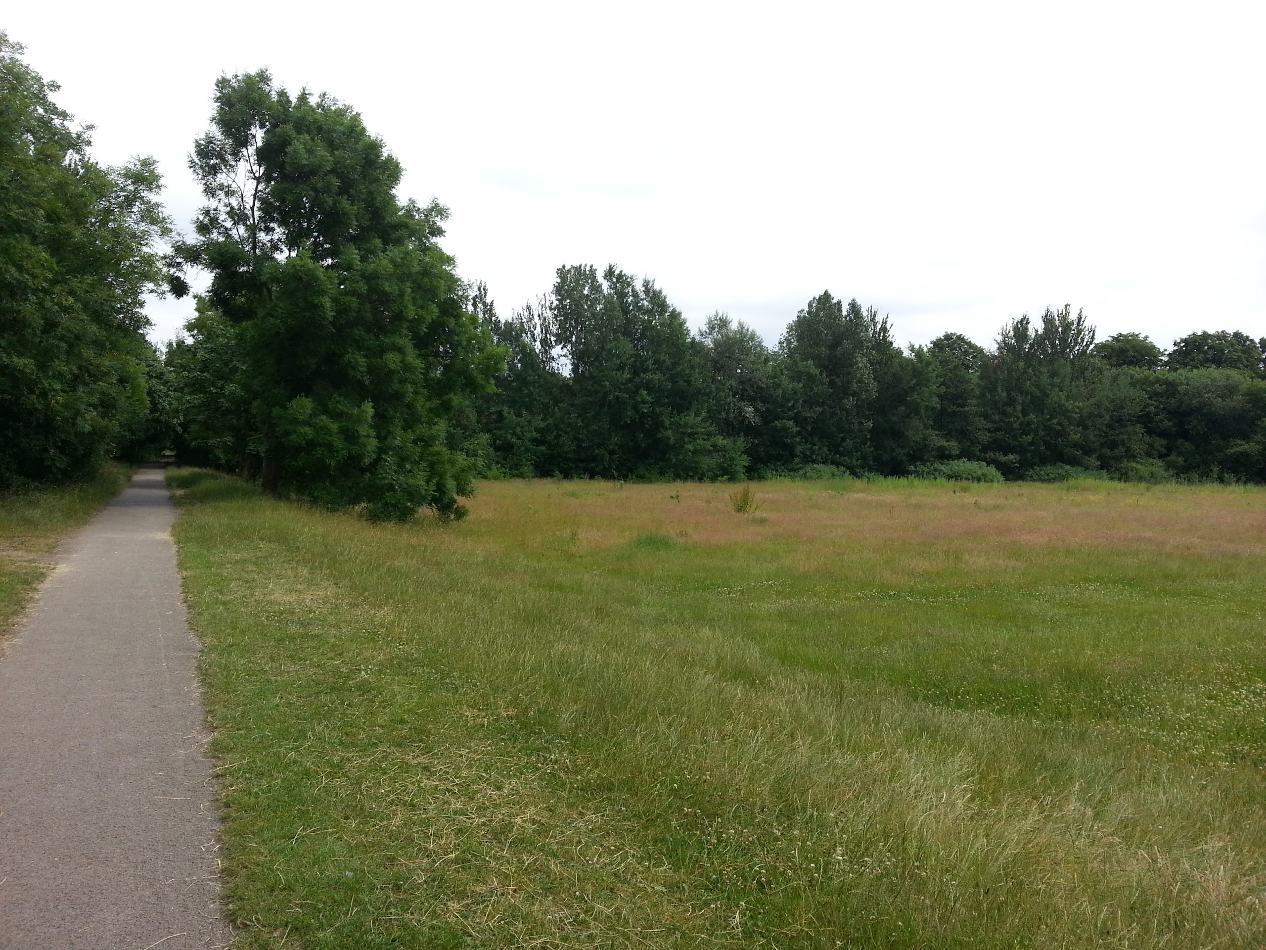
 |
| Abney Hall Park |
After leaving the park I picked a route back home by way of footpaths and side streets. I also came across a large flight of steps on a supposed cycle route, which seemed to render the cycle route a little pointless!
 |
| An unexpected find on a path that's signposted as a cycle route! |
Soon I reached Alexandra Park and Sykes Reservoir, where the geese seemed to have decided to cluster in just one section of the water, before returning to the car and home after a pleasant hour and a half walk.
 |
| Sykes Reservoir |