Friday 25 April 2014

A Misty Friday in the Eastern Lakeland Fells

Friday 4th April 2014

A circular walk up High Street from Troutbeck 

Distance: 24km; Ascent: 1290m; Misty with light winds; with Martin

It had been a while since I'd last been walking in the Lake District, so I made plans to head up to the Eastern Fells today in the company of Martin.  We set off walking from Church Bridge shortly before 10:30am and navigated (mainly successfully!) our way through a holiday park to reach a bridlepath, which ran roughly parallel to the main road on the other side of Trout Beck.  After a number of kilometres of reasonably level walking, we crossed Hagg Gill and ascended steeply into the mist to reach the summit of Troutbeck Tongue (Wainwright, Birkett).

Jesus Church, Troutbeck
Cairn on Troutbeck Tongue
A reasonably level ridge led northwards for around a kilometre and a half, before we picked up the line of the old High Street Roman Road and soon became to ascend steeply.   Around half way up the 500m ascent we took a short break for lunch in the mist before continuing on up to the summit of Thornthwaite Crag (Nuttall, Wainwright, Birkett).

We decided to detour northwards to visit the trigpoint on the summit of High Street (Nuttall, Marilyn, Wainwright, Birkett), before following the wall back in a SSW direction.

Thornthwaite Crag beacon
On the summit of Thornthwaite Crag
By the trig point on High Street
After almost re-ascending Thornthwaite Crag, we followed the ridge southwards in the mist to reach the summit of Froswick (Nuttall, Wainwright, Birkett).  It was relatively quiet on the fells today and so far we had only seen a handful of other walkers.  We stopped for a quick break on Froswick before continuing on to the twin cairns on the summit of Ill Bell (Nuttall, HuMP, Wainwright, Birkett).

Cairn on Ill Bell
Now we just had one 2000ft peak left for the day, and we soon reached the summit of Yoke (Nuttall, Wainwright, Birkett).

On the summit of Yoke
Descending the south slopes of Yoke we soon dropped out of the cloud :-)  We estimated that the cloud base was now at around 500m, having risen from below 300m when we set off walking this morning.  A pleasant walk across the Garburn Pass brought us to the summit of our next hill: Sallows (Dewey, Wainwright, Birkett).

Looking south towards Sallows
On the summit of Sallows
We followed a wall around the head of the Wardless coire with good views back to the cloud covered eastern fells.

Looking back north towards the High Street fells
Heading for Sour Howes
After a slippery stile crossing we reached the summit of Capple Howe (Birkett), our penultimate hill of the day.  A walk of a few hundred metres NW brought us to our last summit of the day: Sour Howes (Wainwright, Birkett).

On the summit of Sour Howes
Windermere from Sour Howes
We descended across Applethwaite Common with good views over Windermere to reach the Garburn Road, which we followed back down to the main road, emerging a short distance to the south of Church Bridge.

On the Garburn Road
It had been a good day's walking despite the low cloud.  Many thanks to Martin for the company; his somewhat more prompt account of today's walk can be found here.

Thursday 24 April 2014

TGO Challenge Spring Gathering 2014

Saturday 8th March 2014 

A walk over the moorlands of the Dark Peak, passing several aircraft wrecks 

Distance: 22.5km; Ascent: 780m; Dry, but misty at first; with lots of other TGO Challengers

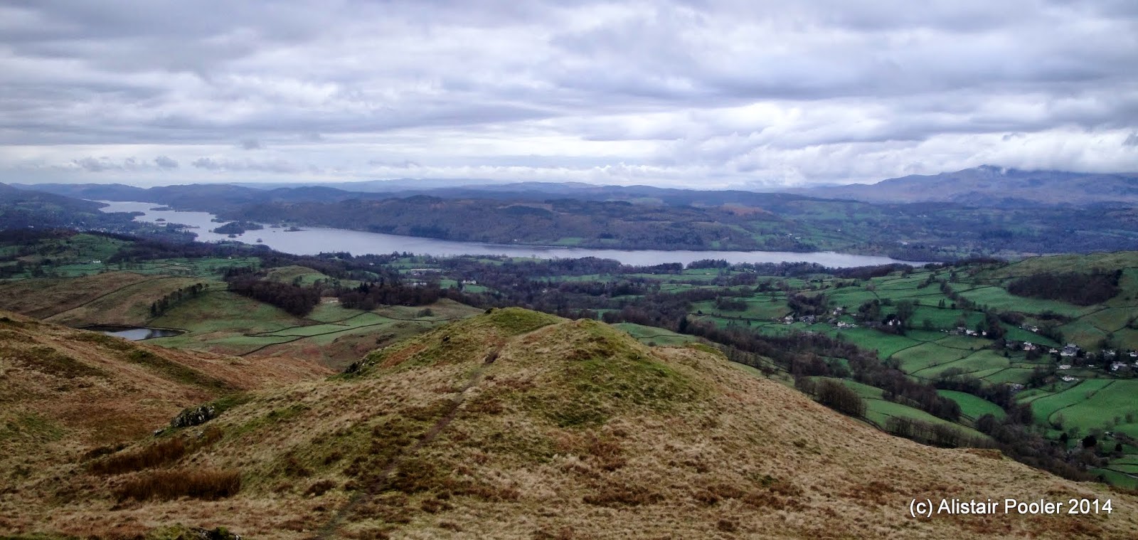
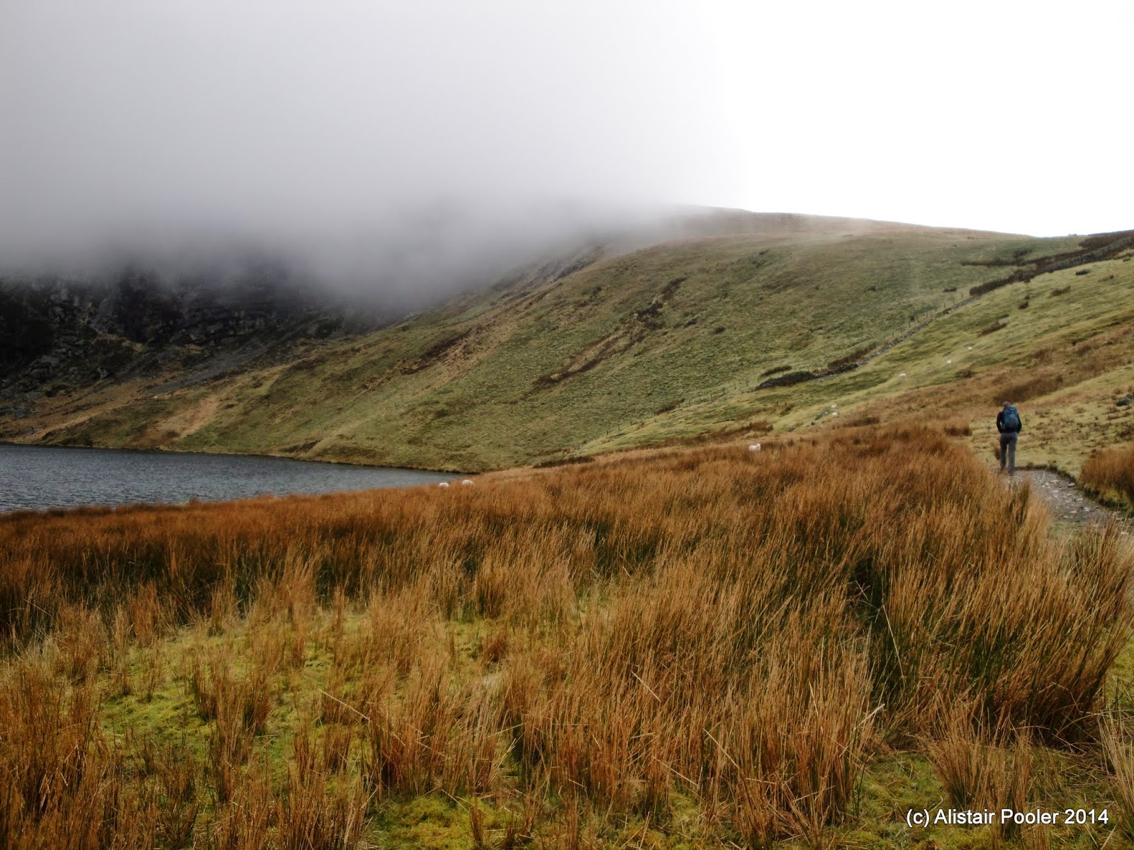
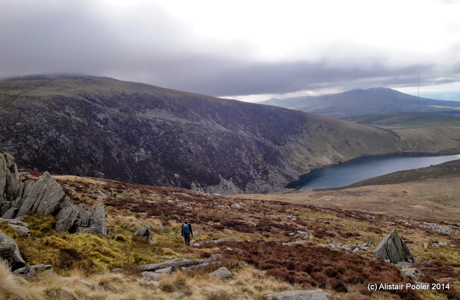
Martin had kindly agreed to give me a lift over to the Snake Inn for today's TGO Challenge reunion walk in the Dark Peak.  We set off walking at around 10am and headed up Lady Clough to reach the start of the Doctor's Gate path, which we followed up into the mist.  The cloud didn't last for long though and soon we were descending down into the upper part of the Shelf Brook valley with good views over the nearby moorland.

In the upper part of Lady Clough
Heading down Doctor's Gate towards Glossop
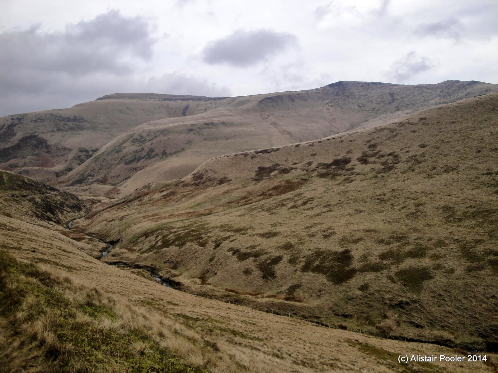
Shelf Moor from Doctor's Gate
After a break for lunch we began our steep ascent of Ashton Clough, past various bits of aircraft wreckage in and around the clough.

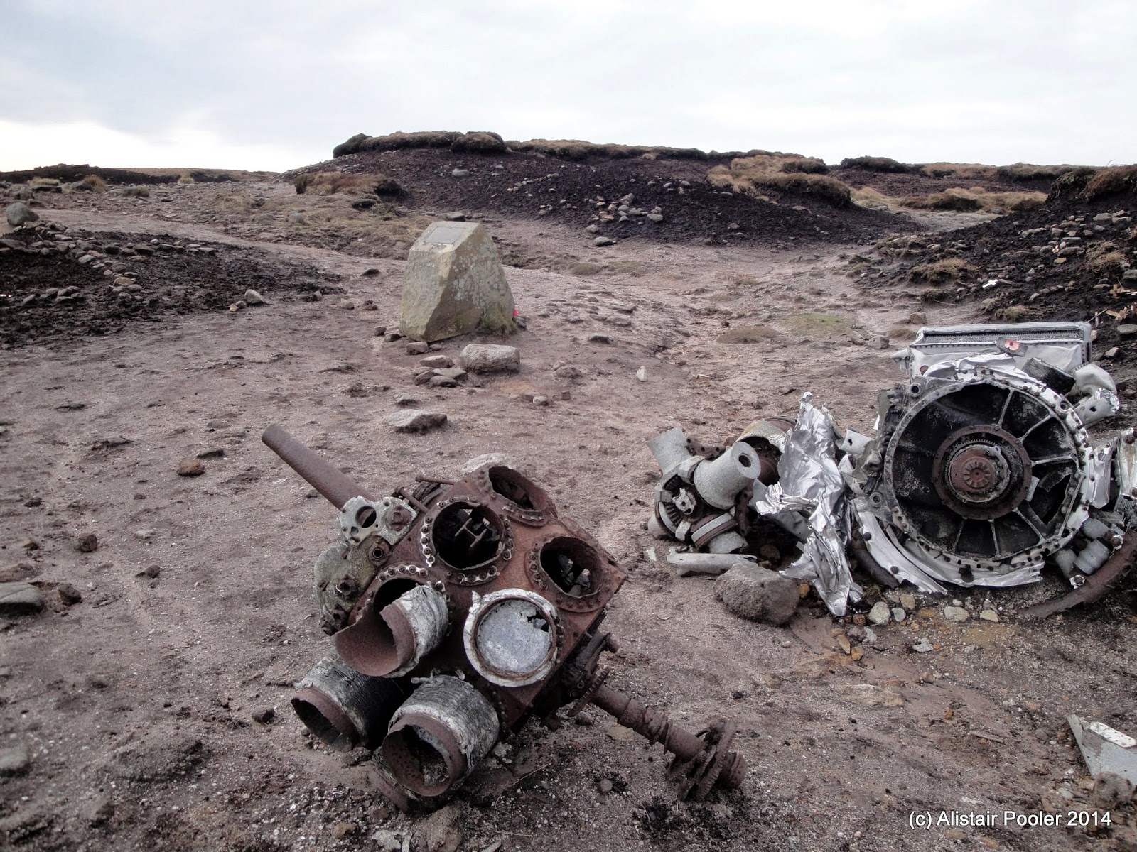
Some of the C47 Skytrain remains in Ashton Clough
The upper part of Ashton Clough
After topping out onto the moorland above the clough, we came across further aircraft wreckage nearby on James's Thorn and from here we headed east across Shelf Moor.

Further remains of the C47 Skytrain above Ashton Clough
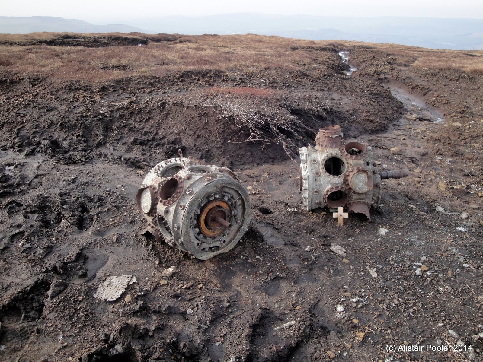
A few remains of a Lancaster on James's Thorn
Shelf Moor
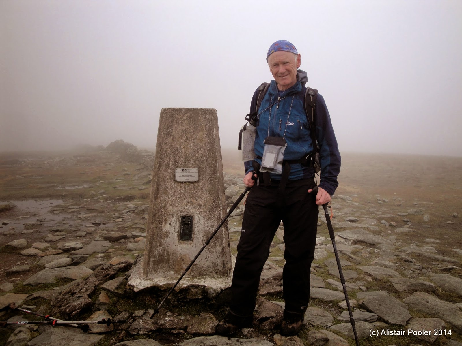
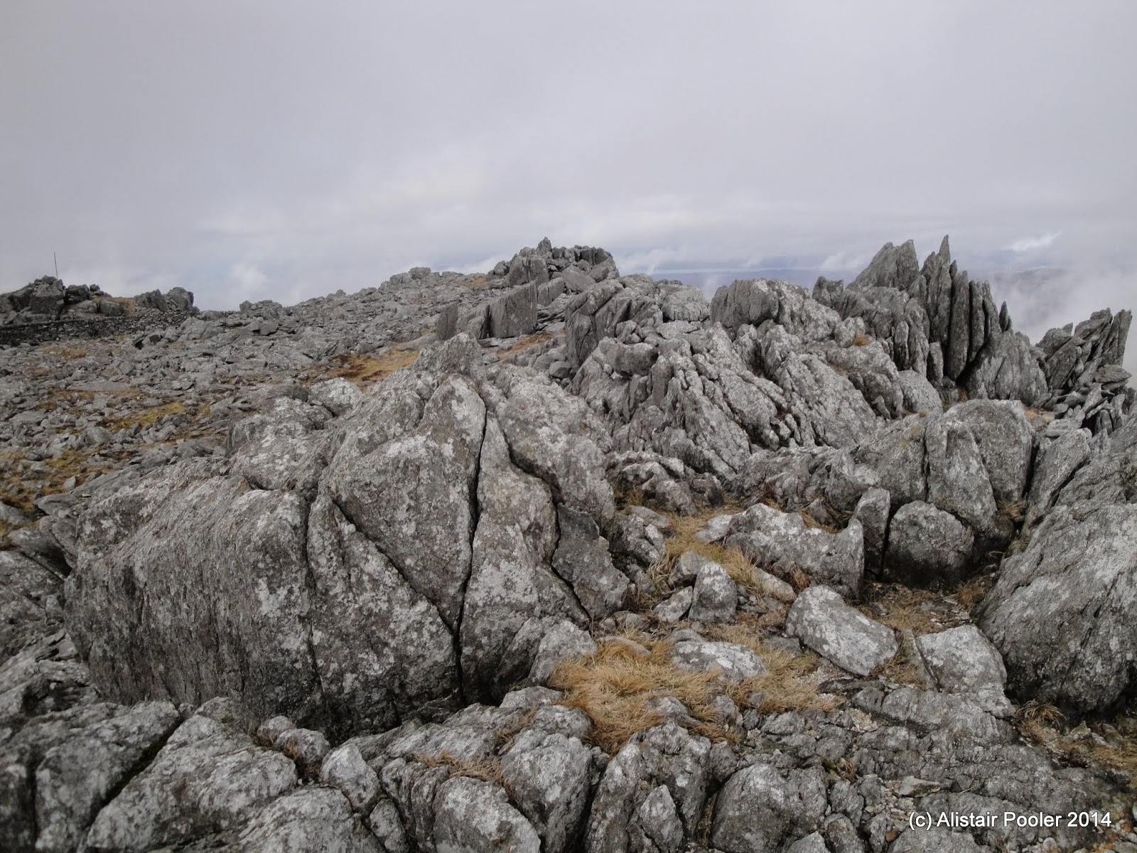
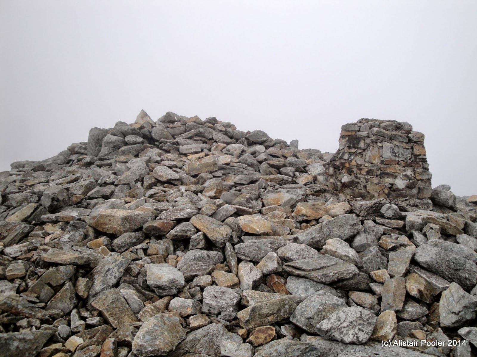
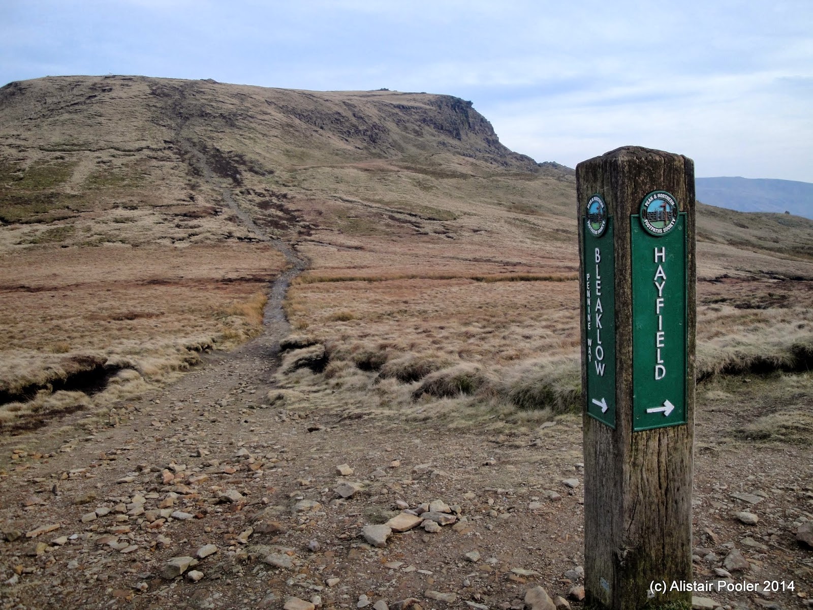
Soon we reached our high point for the day at the summit of Higher Shelf Stones (Nuttall), where I stopped for a few minutes near the trigpoint to admire the views.

Summit rocks of Higher Shelf Stones
From the summit rocks of Higher Shelf Stones we made our way across the moor towards the Pennine Way, passing further aircraft wreckage in the peat.

Group approaching the Superfortress remains
Some of the Superfortress remains near Higher Shelf Stones
More of the Superfortress remains
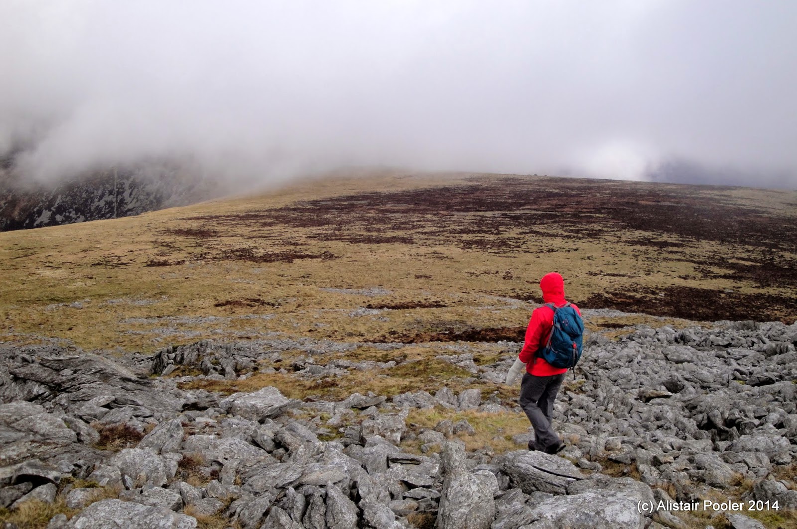
Soon we reached the junction of the Pennine Way with the Doctor's Gate path, from where most of the group retraced our outward route back to the pub.  However a small group of us decided to have a bit more a walk given that there were still several hours of daylight left to enjoy.  Therefore we followed the Pennine Way across the top of the Snake Pass and on across the moorland to reach the summit of Mill Hill (Dewey), our second and last summit for the day.

Looking towards Kinder from Mill Hill
Before descending, Graham took us on a short detour to visit the crash site of a fourth aircraft on the western slopes on Mill Hill, which I had previously walked past one evening last August.

Some of the Liberator remains on Mill Hill
More of the Liberator remains
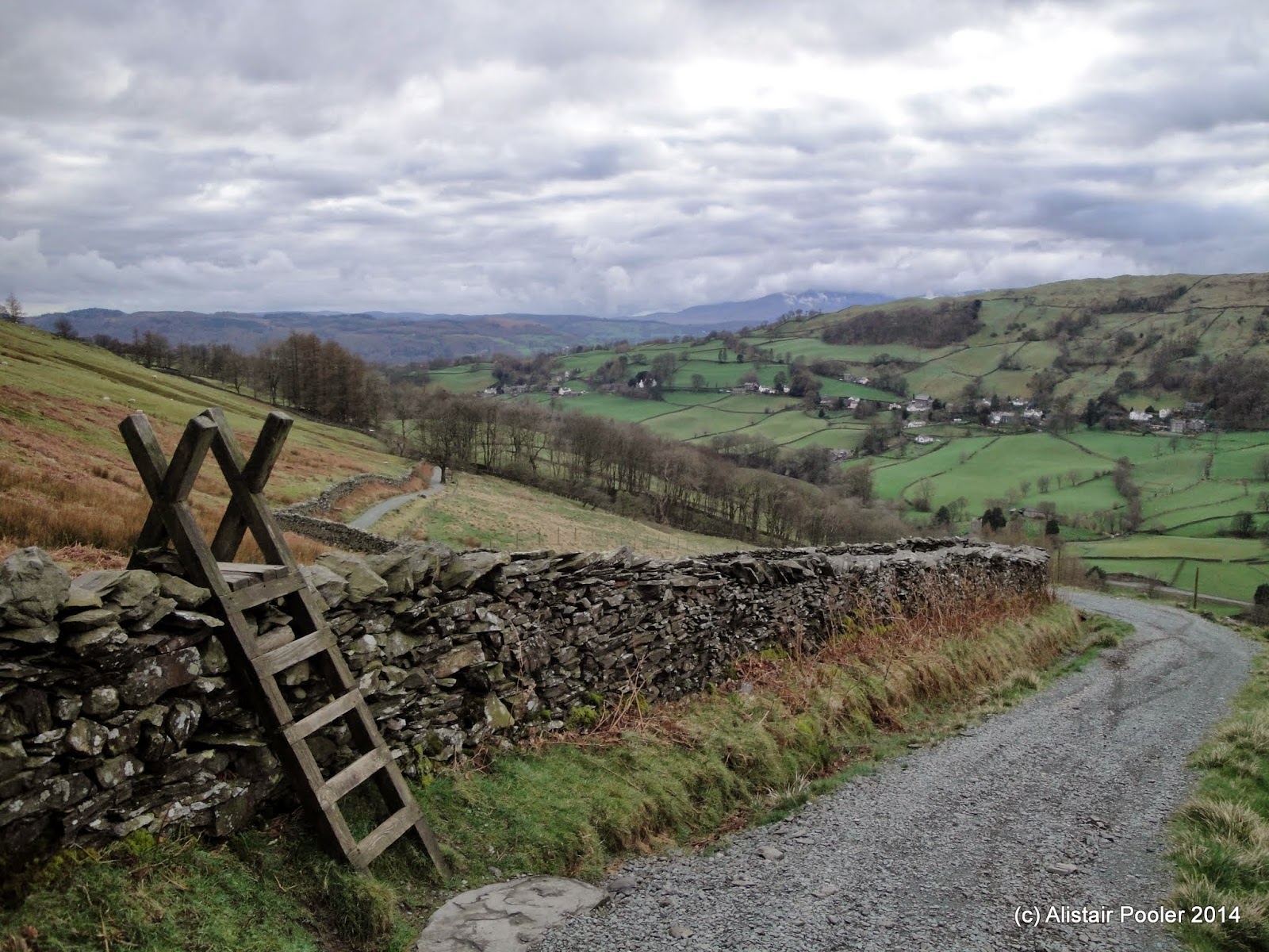
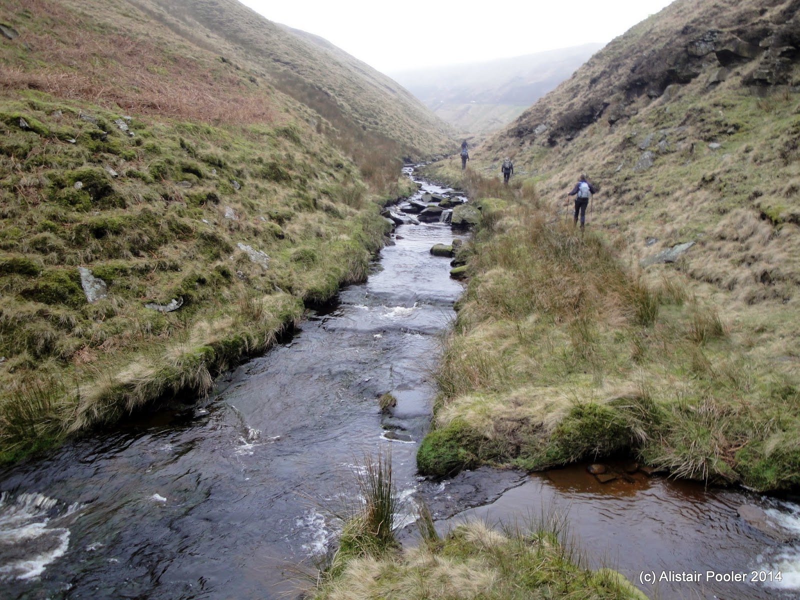
At the path junction between Mill Hill and the NW edge of Kinder, we left the Pennine Way and headed down the pleasant Ashop Clough, pretty much all the way back to the pub. Later that afternoon Lynsey arrived and we had an enjoyable evening in the pub in the pleasant company of many other TGO Challengers.

Footpath junction near Ashop Head
In Ashop Clough
Martin's somewhat more detailed and prompt description of the day's walk can be found here, together with more details of the various different aircraft wrecks we encountered during the day.

A Swaledale Wander

Sunday 23rd March 2014 

A riverside walk along the River Swale in sunshine and hail showers 

Distance: 6km; Ascent: 110m; Sunshine & hail; with Lynsey, Isabel, Olivia, John, Steph, Sierra & Jack
See tracked route in new window

After spending the night at the YHA's Grinton Lodge hostel, we decided to go for a walk in nearby Swaledale.  We set off walking just after 11am from near Maiden Castle and headed down the road to pick up a pleasant footpath eastwards down the dale.

Looking west up Swaledale
Heading east down Swaledale
It was lovely and sunny today and out of the wind it actually felt quite warm!  Whilst the weather was good we stopped for a picnic down by the River Swale, before continuing on eastwards.  The good weather wasn't to last and soon we were walking in full waterproofs due to the arrival of a very heavy hail storm!

River Swale
Luckily the hail and rain didn't last for long and we were soon back in the sunshine :-)  At the end of the footpath, Lynsey and Steph headed into Grinton village with the children whilst John and I walked back along the road to retrieve the cars, before we all adorned to the pub before heading home after a lovely weekend.

Reeth
Daffodils

Aysgarth Falls

Saturday 22nd March 2014 

This afternoon we spent a pleasant couple of hours wandering around the three impressive waterfalls near Aysgarth village in Wensleydale, followed by excellent cake at the nearby cafe, before heading to Grinton Lodge YHA for the evening.  Here are a few photos of the falls:

High Force, Aysgarth
Middle Force, Aysgarth
Lower Force, Aysgarth
Rainbow over the River Ure


Monday 21 April 2014

A Third Day on the Galloway Hills

Sunday 20th April 2014

It was misty and murky at my ridge top camp at 6:30 this morning, but it had all cleared by 8am when I packed the tent up leaving another day of warm sunshine in the Galloway Hills. Although it wasn't to last as it clouded over by mid afternoon and the cold breeze strengthened through the day. Here's a couple of photos of the hills around Loch Dee from different angles.


posted from Bloggeroid

Sunday 20 April 2014

A Quiet Day Walking in the Galloway Hills

Saturday 19th April
#sh

Today was a long day walking over hills and through forest, during which I only saw one other person - quite remarkable considering it's a bank holiday weekend! The following couple of photos show the summit of Corserine, the highest point for this backpack, and tonight's ridge top camping spot. Tomorrow I head for Millfore and Lamachan Hill.


posted from Bloggeroid

Saturday 19 April 2014

First Wild Camp of the Year

Saturday 19th April 2014
#sh

Here's a photo of last night's scenic camp by Loch Enoch in the Galloway Hills. I had a good afternoon walk-in yesterday over the granite hill of Craignaw in the sunshine. Today I'm heading up Mullwharchar and then east to the Rhinns of Kells.


posted from Bloggeroid

Friday 18 April 2014

An Easter Backpack in the Galloway Hills

This afternoon I will be setting off for a 3-4 day backpack in the sunny Galloway Hills.  The following Social Hiking map shows my planned route (in pink), which should get overlaid with my progress (in orange) assuming that that I have signal and/or my SPOT works properly!  Once I've finished walking, I'll be uploading blog posts for each day at some point in the next few weeks.

See map on Social Hiking site or full size in a new window

Monday 14 April 2014

Mynydd Graig Goch - My Final Welsh 2000ft Peak!

Sunday 16th March 2014 

A misty day on the western hills of the Nantlle Ridge to climb my last Welsh Nuttall 

Distance: 11km; Ascent: 660m; Misty on the hills; with Colin
See tracked route in new window

After yesterday's two walks in the Arenigs and the Glyders, I now only had one 2000ft peak left in Wales that I hadn't yet climbed: Mynydd Graig Goch in western Snowdonia.  Therefore today we set out to rectify that with a pleasant walk along the western section of the Nantlle Ridge, to visit not only Mynydd Graig Goch, but also two other nearby peaks that Colin had yet to climb.

We set off walking from a small carpark just over half a kilometre NW of Llyn Cwm Dulyn at around quarter to eleven and headed along the access track to the reservoir, before gaining the NW spur of Mynydd Graig Goch and ascending up into the mist.

Approaching Llyn Cwm Dulyn
Heading for the NW spur of Mynydd Craig Goch
Frog (or toad?) spawn
Soon after midday we reached the rocky summit of Mynydd Graig Goch (Nuttall), where we spent a short while identifying by GPS which one of the many rocky outcrops was actually the true summit.  Once we had found it we stopped here for lunch before enjoying a celebratory dram whilst reflecting back on the large number of excellent days hill walking I've had climbing all the Welsh 2000ft peaks since 1997.

Celebrating with a dram on the summit of Mynydd Graig Goch
Summit rocks of Mynydd Graig Goch
After feeling suitably refreshed, we headed east over moorland to eventually descend out of the cloud as we reached Bwlch Cwm Dulyn.  From here we picked up a well worn path for a few hundred metres before concluding it didn't ascend the next hill; therefore instead we headed up the rough ground into the mist to reach the trigpoint and summit cairn of Garnedd-goch (Nuttall).

The cloud cleared as we descended to Bwlch Cwm Dulyn
Summit of Garnedd Goch
From here it was a pleasant, if misty, walk along the ridge to reach our highest point of the day at the summit of Craig Cwm Silyn (Nuttall, Marilyn), where we met the only other walkers we saw all day.  After a short break at the summit we retraced our steps for around three quarters of a kilometre before taking a traversing line westwards around Garnedd Goch towards Llyn Cwm Dulyn.

Descending out of the cloud towards Llyn Cwm Dulyn
Llyn Cwm Dulyn with Mynydd Craig Goch beyond
We soon dropped out of the cloud as we descended and there we good views down towards Llyn Cwm Dulyn and across to the hills of the Lleyn Peninsula in the distance.  Lower down we picked up a faint path down a bit of a ridge to reach the outflow of Llyn Cwm Dulyn, from where we followed our outward route back down the access track.  We reached the car shortly before half-past three after a pleasant walk, and headed back home along the A55 happy that I had now completed one of my many hill bagging aims :-)

Looking back to Craig Cwm Dulyn