Thursday, 1 January 2009

A New Year's Day walk up Foel Goch

Thursday 1st January 2009 

A cold, crisp afternoon hill-walk to start the New Year 

Distance: 9km; Ascent: 320m; Bright and sunny, but cold; with Lynsey

It was forecast to be a lovely sunny day, so Lynsey and I decided to go out for a short hill walk to celebrate the New Year.  Foel Goch in the northern Arenigs looked to be a good option and this is where we headed.  We set off walking along a narrow lane at around half-past midday heading for the open hills.

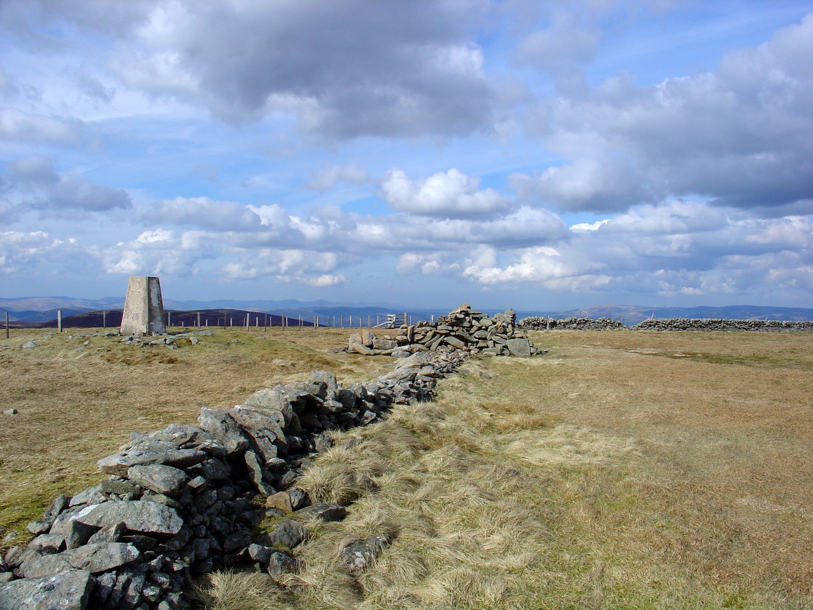
On the summit of Foel Goch
It was cold and crisp, but sunny as we followed the footpath up into Cwm Da and onwards to reach the fence along the ridge.  Following this fence westwards, we reached the trigpoint on the summit of Foel Goch (Marilyn, Nuttall) at around 2:15pm.  There were excellent views from up here today!  Unfortunately my camera was broken (therefore the 4 photos in this post have been kindly supplied by Lynsey!)

Heading west from Foel Goch
New Year's Day sun
We headed west for around a kilometre before descending to the south and walking back to the car after a very good afternoon walk.

 View from west of Foel Goch
Written up in September 2013 from memories and photos


Sunday, 7 September 2008

Pennine Way: Day 7 - Horton-in-Ribblesdale to Hawes

Sunday 7th September

Distance: 22km; Ascent:440m; with Lynsey

We didn't make quite as early start as planned today, possibly due to yesterday's late-ish finish; however we still probably managed to set off walking from the campsite at around 9:30am.  After a couple of kilometres walking we came across Sell Gill, where it tumbles impressively into the ground at the appropriately named Sell Gill Holes.

Sell Gill
Sell Gill Holes
We continued northwards with good views across to Ribblehead Viaduct and Whernside beyond.  An hour and half or so after leaving Sell Gill Holes we passed another beck dropping into a hole in the ground at Calf Hole.

Ribblehead Viaduct and Whernside
Beck above Calf Hole
Continuing on past Ling Gill we ascended up onto Cam Fell, where we met the Dales Way and the Cam High Road, an old Roman Road.  There were good views across the moorland as we followed the Cam High Road north-westwards, reminding me of our previous visit to this part of the Dales in 2006 to climb the nearby hills of Dodd Fell Hill and Drumaldrace.

Heading for Hawes on the West Cam Road
At Kidhow Gate we left the Cam High Road, which was now a tarmacked road, to fork left onto the West Cam Road, a track that lead to Hawes.  After around 4km, the Pennine Way left this track to take a route across the moorland and down through fields towards Hawes.

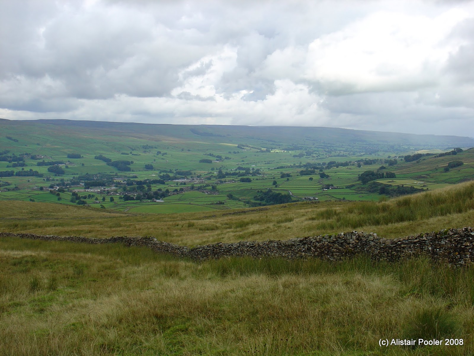
Looking down into Wensleydale
Our plan had been to descend to Hawes and order a taxi to Garsdale station whilst we had tea and cake somewhere.  However it was now apparent that if we did this we were going to struggle to catch our train, which would be somewhat of a pain owing to the infrequent nature of the service on this line.  Therefore instead as soon as we reached the surfaced track of Gaudy Lane, we arranged for a taxi to meet us outside the Market House in the town centre.  We walked there as quickly as we could as it was starting to rain!

We made it to the Market Hall at about the same time as our taxi, which dropped us off at Garsdale station around 10 minutes before our train.  Unfortunately there was no where to shelter at the station and so we were soaked by the time our train arrived, which meant that the train staff took pity on us and sorted us out a cup of tea each shortly after boarding!  Soon we were back in Settle after another good weekend of walking.

Written up in November 2012 from photos and memories

Saturday, 6 September 2008

Pennine Way: Day 6 - Malham to Horton-in-Ribblesdale

Saturday 6th September

Distance: 23.5km; Ascent:790m; with Lynsey

Our journey northwards on the Pennine Way reached Malham Cove several months ago on a cold snowy Easter Monday.  Now we were back again with the intention of walking from Malham to Hawes over the course of the weekend.  Careful studying of the various train and bus timetables had suggested that the most logical way of doing this was to get to Settle by train or car, from where we could take a bus to Malham.  Then from Hawes it would be possible to get a taxi a few miles west to Garsdale Station, where we could then catch a train back to Settle.

Therefore we were up early today to drive up to Settle, where we intended to leave the car for the weekend.  We arrived in plenty of time for the first bus of the day to Malham at 10:30am to allow us time to find somewhere suitable to park.   However this proved to be easier than expected as the man at the station ticket office allowed us to park at the station providing we bought our tickets now for tomorrow.

And so just after 11:00am we set off walking from the National Park visitor centre in Malham and wandered up through the village to pick up the busy track up to Malham Cove.  As we had a long way to go, we didn't linger here; however I took plenty of photos here on our walk from Malham to Settle via Malham Cove back at Easter.

Looking down Watlowes
After climbing up to the top of the cove and clambering over the impressive limestone pavement, we were soon in the lovely dry limestone valley of Watlowes.  There were good views back down towards the cove and on into the upper valley surrounded by limestone crags.

In Watlowes
Soon we reached Malham Tarn, whose pleasant shore we followed before crossing a road and beginning the main ascent of the day up onto Fountains Fell, whose summit area shows some evidence of coal mining in the past.  We dropped down to the road to the west, with good views of our next objective: Pen-y-Ghent.

Pen-y-Ghent
At around 6pm we reached the summit of Pen-y-Ghent (Marilyn, Nuttall).  After a bit of a break on the summit, we descended along the Pennine Way to reach the village of Horton-in-Ribblesdale, where we intended to stay for the night.  We set our tent up on the campsite and headed to the nearby pub for dinner after a long day's walking.

Written up in November 2012 from photos and memories

Saturday, 12 July 2008

Spitzkoepfe and Le Hohneck

Distance: 7.5km, Ascent: 460m

See route in new window

I had arranged to meet James for a long weekend of mountaineering in the Swiss Alps. However, when James met me at the airport yesterday, he informed me of the bad news that the weather forecast for the weekend for abysmal! Back at James' flat in Colmar that evening, the forecast was still looking bad for the Alps, but it would be dry in the Vosges on Saturday. Therefore we decided to go and climb the Spitzkoepfe ridge, an alpine rock ridge in the middle of the wooded rolling hills of the Vosges.

We left the car shortly before lunch and as we followed the path up to the start of the ridge, the clouds looked threatening.  However, the climbing proved to be good and the weather gradually improved.  We stopped for a late lunch part-way up the ridge on a pleasant grassy ledge.  The rock seemed mainly sound, although there had clearly been some recent rockfall in places.  There were trees all around the ridge, which meant for an interesting scrambling experience!

We reached the top of the ridge at around 16:30, and soon we saw the first people since we had set off that morning.  We followed the path round to the summit of Le Hohneck where we enjoyed beers in the summit restaurant!
 
  
Written up in September 2010 from memories and photos

Sunday, 29 June 2008

Arenig Fawr and Moel Llyfnant

Sunday 29th June 2008 

A windy day walk in Snowdonia's Arenig hills 

Distance: 12km; Ascent: 660m; Windy, initially with low cloud and rain; with Lynsey

We set off walking with the intention of following the walk in the Nuttalls' guidebook, but as we ascended up onto Arenig Fawr the weather deteriorated. On the summit of Arenig Fawr (Marilyn, Nuttall) it was wet, windy and misty so we didn't linger for long by the trigpoint.

Dropping down the south ridge we visited the summits of Arenig Fawr South Top (Nuttall) and Arenig Fawr South Ridge Top (Nuttall), before descending west to the col. By now the weather had begun to improve and the cloud parted to reveal blue sky and spells of sunshine.

Arenig Fawr from Moel Llyfnant
Arenig Fach and Arenig Fawr from Moel Llyfnant
We continued on with our planned walk and ascended steeply westwards to reach the summit of Moel Llyfnant (Marilyn, Nuttall) at around 3pm. There were good views from up here across to both Arenig Fawr and Arenig Fach in the distance.

Arenig Fach and Arenig Fawr from N slopes of Moel Llyfnant
Arenig Fawr from N slopes of Moel Llyfnant
By now time was getting on so we decided that we didn't have time to complete our planned walk over two more minor tops. Therefore instead we opted to descend northwards back towards the car (although the route shown on the map is only my best guess of what we actually walked!)

Written up in September 2013 from memories and photos

Monday, 28 April 2008

Moffat to Peebles - Day 3: Blackhouse Heights to Peebles

Distance: 16km, Ascent: 340m

See route in new window

Owing to the lack of integrated public transport system in the borders, it was necessary for us to rise early this morning so that we could get back to Moffat by bus (via Edinburgh!).  We set off walking at around 6am; the weather was fine with the hills free of cloud.  It was a quick ascent to the top of our first hill of the day: Black Cleuch Hill (Donald Top).

We continued following the heathery ridge for several km to reach
Dun Rig (Graham) at 7:30am.  An hour later we were on the top of Birkscairn Hill (Donald).  From there we followed the Old Drove Road north along the ridge over the top of Kirkhope Law (Donald Dewey), and then skirting Kailzie Hill and Craig Head.  Shortly after 9:30am we got our first view of Peebles and could see the gathering dark clouds; would we be able to get to there before the rain started?

Once we reached Pebbles our pace quickened as we realised we had no idea where the bus to Edinburgh would stop!  Shortly before crossing the Tweed, the rain started and we ran over the bridge and into the town centre in search of the bus stop.  In the end we had time to spare and I was able to nip into a bakery to pick us up some tasty pastries.  Eventually we arrived back in Moffat after spending an hour between buses in Edinburgh.  However the walking of the last three days was worth it!


Written up in November 2010 from memories and photos

Sunday, 27 April 2008

Moffat to Peebles - Day 2: Talla Nick to Blackhouse Heights

Distance: 23km, Ascent: 1090m

See route in new window

We awoke to a dry morning, with the mist still clinging on in a few places; however by the time we started walking at 9:30am it had all cleared.  Our first hill for the day was Lochcraig Head (Donald), from where there were good views down to Loch Skeen.  We then descended the ridge to the north to Nickies Knowe (Donald Top), from where the views were excellent across to Talla Reservoir and Broad Law.

We dropped to our low point for the day at the Megget Stone, before ascending the long south ridge of Broad Law (Corbett).  The summit was adorned with a strange collection of masts together with the more usual trig point, which we reached at 1:30pm.  We then headed north-east to climb Cramalt Craig (Donald), followed by Fifescar Knowe (Donald Top) and Dollar Law (Donald).

From the summit of Dollar Law, we retraced our steps for half a km, before taking a traversing path round the east side of Fifescar Knowe to reach Notman Law (Donald Top).  Skirting round the head of the Manor Valley, we reached Greenside Law (Donald).  We then headed over Black Law (Donald), before camping in the Bealach just before Black Cleuch Hill.  All in all, a very good day’s walking with excellent weather!


Written up in November 2010 from memories and photos