Friday 16th August 2013
A long day walk in the heathery hills to the north of Llyn Celyn
Distance: 19.5km; Ascent: 950m; Warm and sunny; Solo
I had booked the day off work today for a day's hillwalking a couple of months ago, so I was pleasantly surprised to discover that the weather forecast was actually pretty good :-) It had been well over a year since I'd last been hillwalking in Snowdonia so I decided to rectify this today by going for a walk in the Arenigs near to Bala. I'd only previously walked in the Arenigs on three occasions before (in
August 2007,
June 2008 and
January 2009), so I decided a return visit was long overdue!
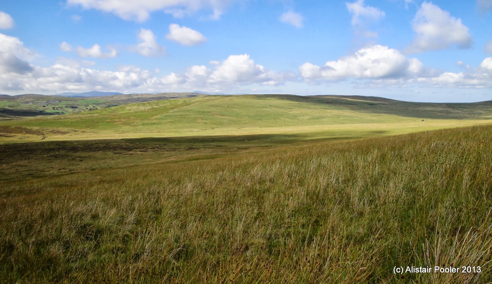
 |
| Arenig Fawr across Llyn Celyn |
I set off walking from the road alongside Llyn Celyn shortly before 11am and followed a vehicle track up through the forest for a few hundred metres before reaching a line of pylons and open country. I continued to ascend on a good track with excellent views over the purple heather towards Arenig Fawr, Arenig Fach and the northern Snowdonia hills beyond.
 |
| Arenig Fach |
 |
| Arenig Fach with northern Snowdonia in the distance |
 |
| Arenig Fawr and Arenig Fach |
When the track reached a local high point and turned east I forsake the track and ascended through the heather to reach the cairn on the summit of
Foel-boeth (Dewey). The views from up here were excellent and I stopped by the nearby little-used looking windshelter for a spot of lunch whilst deciding my onward route!
 |
| Summit of Foel-boeth |
 |
| Windshelter on Foel-boeth |
My original plan had been to descend back to the track and follow it below Brottos before reascending to the ridge. However from up here it looked like a long way back down to the track and I instead decided to see if I could minimise my height loss by heading northwards and then north-eastwards. However I hadn't bargained on there being a new-ish looking barbed wire fence blocking my way :(
 |
| Handy stone slabbed bridge |
Rather than risk injury from the fence, I opted to follow it eastwards to the Nant y Coed, which I was able to cross on a small stone slabbed bridge. I now had an unpleasant steep ascent through deep heather to reach the top of Brottos, where the ground was surprisingly spongy despite being nearly bone dry. A further few hundred metres brought me back to the track, which in hindsight I should have followed all the way!
 |
| The track up Carnedd y Filiast |
Shortly after joining the track I met two other walkers heading for Carnedd y Filiast - however this was not my next planned hill. Instead I followed the track just below the summit to the east through lots of lovely heather that seemed to be alive with butterflies!
 |
| Small Tortoiseshell high on Carnedd y Filiast |
 |
| Small Tortoiseshell high on Carnedd y Filiast |
After the track ran out a further half a kilometre of so of walking along a faint path over the moorland brought me to the summit cairn of
Waun Garnedd-y-filiast (Nuttall).
 |
| Summit of Waun Garnedd-y-filiast |
I returned back along the fence to reach the summit of
Carnedd y Filiast (Marilyn, Nuttall), which was marked by a
trigpoint and a large cairn topped with a boundary stone. As it was now two o'clock I stopped here for a bit of a second lunch whilst admiring the excellent views across much of Snowdonia. I reckoned I could pick out the spiky profile of Tryfan together with the other hills of northern Snowdonia in the distance to the NW, which brought back memories of the many happy days I spent walking in those hills when I was at uni :-)
 |
| Summit of Carnedd y Filiast |
After feeling suitably rested I headed westwards alongside the fence, following a bit of a faint intermittent path to reach the boggy area named on the map as Ffynnon y Waen. However given it was a dry day in summer, I didn't have too much trouble keeping my feet dry - although I suspect it would be a different matter if the rain was lashing down!
 |
| Headwaters of the Nant y Coed |
I crossed the headwaters of the Nant y Coed, which appeared to just emerge from beneath the fence! And continued westwards to a small cairn, from where I followed a faint path southwards to reach the summit of
Carnedd Llechwedd-llyfn (Nuttall).
 |
| Summit of Carnedd Llechwedd-llyfn |
Returning to the fence, I descended following it WSW past occasional boundary stones (marked with RP 1866). To the NW lay the vast area of moorland known as the
Migneint, which is apparently one of the largest areas of bog and heather in Wales and it certainly looked pretty large from up here!
 |
| One of the many boundary stones along the fence |
 |
| Looking into the vastness of the Migneint |
Soon I caught up with the two other walkers I had seen earlier and we walked together for a while to reach the Afon Gelyn, where I stopped to don gaiters in an attempt to keep my feet dry whilst crossing the river - although unfortunately this failed and the water began to seep through whilst I was wading across!
 |
| The Afon Gelyn |
Once back on dry land I stopped for a quick break whilst deciding my plan of attack for the ascent of Arenig Fach. I initially opted for the slightly higher ground above Boncyn Crwn but this only ended up with me wading through deep heather in shorts, which was quite unpleasant! In the end I decided to head southwards to the Trinant burn, where I was able to pick a slightly less heathery route of ascent following a branch of the burn southwards. Near the source of the stream I was forced to return to the deep heather for a steep ascent to gain the spur overlooking Llyn Arenig Fach.
 |
| Llyn Arenig Fach and Llyn Celyn |
Here I picked up a faint path, which I followed up the steep heathery ground with excellent views back northwards over the vastness of the Migneint moorland.
 |
| Looking back down towards the Migneint |
After occasional rocky sections, the ground relented as I reached the summit plateau area. A few hundred metres further brought me to the
trigpoint, cairn and windshelter on the summit of
Arenig Fach (Marilyn, Nuttall).
 |
| Summit of Arenig Fach |
After admiring the fantastic views from up here I stopped for a quick bite to eat in the impressive windshelter next to the cairn. The two people I met earlier appeared a short while later and after chatting to them for a few minutes I started my descent.
 |
| On the summit of Arenig Fach |
The descent along the faint path SE along the fence line was unpleasantly steep in places and care was needed in a number of places as the fence not only had barbed wire on the top but also on the bottom too, which seemed somewhat unnecessary! Eventually the angle eased and I headed eastwards over Bryn Du with excellent views over Llyn Celyn.
 |
| Mynydd Nodol overlooking Llyn Celyn |
The ground became progressively more reedy as I descended until I was only a couple of hundred metres above the road. However the direct route to the road looked to be quite unpleasant given it was through steep, pathless bracken and woodland. I stumbled upon an old track, which turned out to be a public footpath, and I followed it northwards to reach the road near the corner.
 |
| Capel Celyn memorial chapel |
 |
| Capel Celyn memorial chapel |
After a little over half a kilometre of road walking I came to the Capel Celyn memorial chapel, which commemorates the flooding of Capel Celyn village and the surrounding Tryweryn valley to create the Llyn Celyn reservoir in 1965.
 |
| Llyn Celyn |
A further kilometre of walking along the busy road brought me back to the car at around 7:15pm after a most excellent day's hill-walking in the sunshine :-)
See also my Social Hiking
live map from the walk.


What a cracking walk, Sir
ReplyDeleteSome glorious pictures of the views too.
:-)
Thanks Alan :-)
DeleteI was quite pleasantly surprised about how good the walk was and how quiet the hills were!
I'm impressed you managed to find a route up onto Arenig Fach. I comprehensively failed a few years back and diverted to Fawr instead. Might try again now I've seen your pics. Did you leave the sunshine there BTW. I'm not going if it's rainy ;)
ReplyDeleteThanks for the comment :-) I'm not sure I'd recommend the route I took up onto Arenig Fach, as it was up unpleasantly steep heather. However having said that, my descent route wasn't really much better! But it was all worthwhile as the views were most excellent :-)
DeleteWhat a lovely walk. It is quite a few years since I went walking in Wales and there is much there to yet explore. I used to go more from college when ran the fell walking club as much closer than I am now. That was rather a long time ago! Must be due a visit.
ReplyDeleteThanks Heather it was a lovely walk, up quite quiet hills :-) I think it was my first hillwalk in Snowdonia for almost two years!
DeleteI agree that that there is much yet to explore - there's still a lot of Wales that I've not walked in yet!