Wednesday, 10 July 2013

Abney Hall Park from the River Mersey

Wednesday 10th July 2013 

A short afternoon walk along the River Mersey to reach Abney Hall Park on the edge of Cheadle 

Distance: 8.5km; Ascent: 70km; Warm and dry; Solo

As I had a couple of hours free this afternoon I decided to head out for a walk along the Mersey to East Didsbury, which would allow me to investigate Abney Hall Park on my return.  I wandered through the terraced streets of Edgeley and across a footbridge to reach the Trans Pennine Trail along the north bank.

Looking downstream from Gorsey Bank Footbridge
It was pleasantly warm as I walked westwards alongside the river, but I was glad that it was a few degrees cooler than of late!  There were plenty of wild flowers around and I soon came to the remains of the bridges that carried a railway line from Stockport to Didsbury and onwards into Manchester city centre, which may one-day be rebuilt to extend the Metrolink tram line from its new terminus at East Didsbury.

Heading west along the Trans Pennine Trail
Remains of an old railway bridge over the Mersey
I continued downsteam past a rugby club and playing fields to reach Cheadle bridge, where I turned left along the busy B5095.

Looking downstream towards Didsbury
Looking upstream from Cheadle Bridge
After a few hundred metres I crossed the motorway and turned left into Abney Hall Park.  Following the main driveway I soon reached the impressive Abney Hall, which dates from 1847 and according to the park's website was visited a number of times by Agatha Christie.

Abney Hall
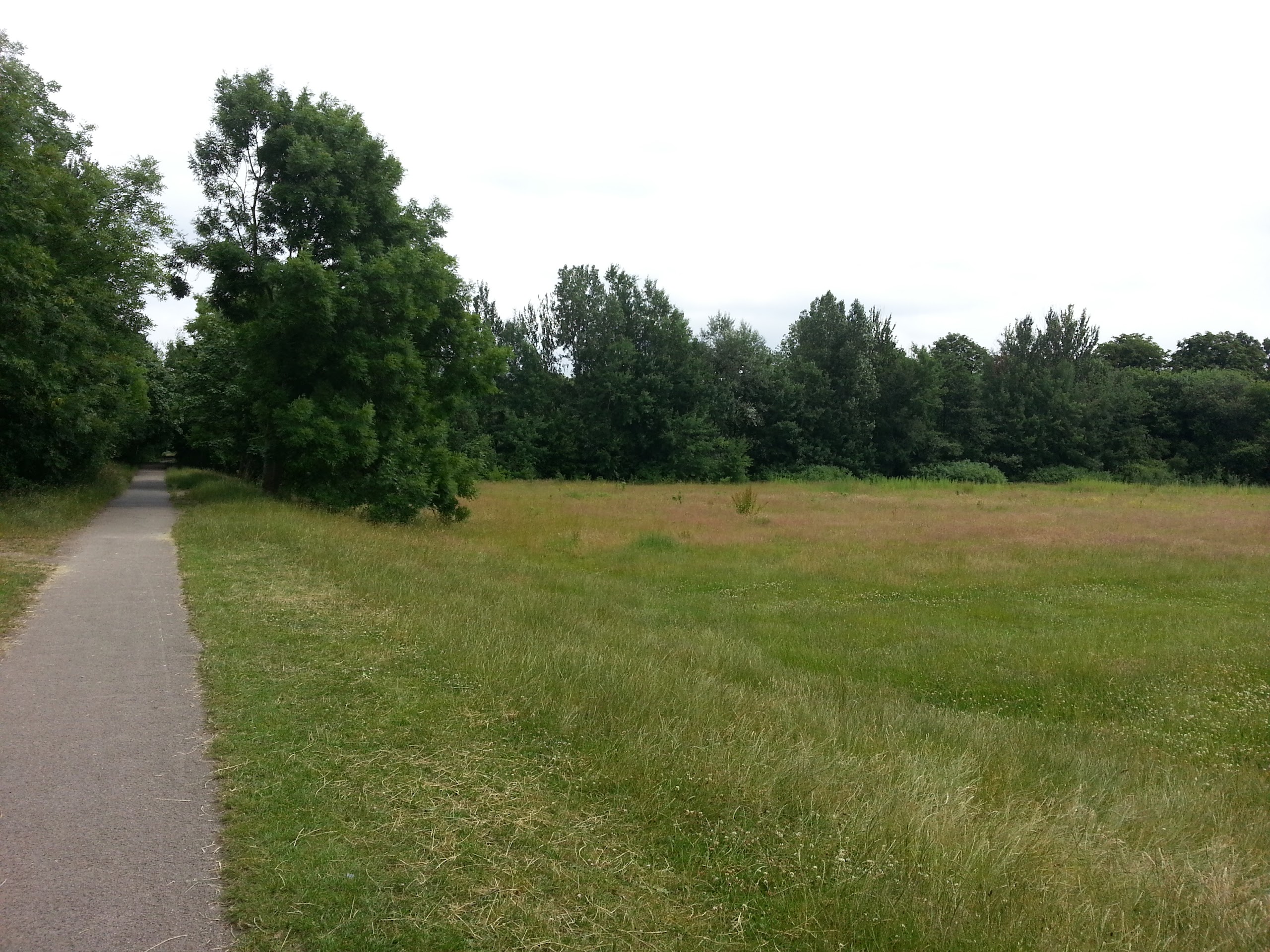
Abney Hall Park
After leaving the park I picked a route back home by way of footpaths and side streets.  I also came across a large flight of steps on a supposed cycle route, which seemed to render the cycle route a little pointless!

An unexpected find on a path that's signposted as a cycle route!
Soon I reached Alexandra Park and Sykes Reservoir, where the geese seemed to have decided to cluster in just one section of the water, before returning to the car and home after a pleasant hour and a half walk.

Sykes Reservoir

Tuesday, 9 July 2013

A Short Stroll along the River Mersey

This afternoon I headed out for a short stroll to walk along the shady banks of the River Mersey with my daughter, in an attempt to escape the ongoing heat which in my opinion is a little bit too hot at present! 

It's a pleasant 4km walk that we can do directly from our front door in Stockport, which is quite nice!  Below are a couple of photos of the Mersey from the Gorsey Bank footbridge followed by a further two shots of Stockport viaduct, which carries the main railway line south from Manchester. 


Sunday, 30 June 2013

A Short Amble at Dunham Massey

This morning we went for a pleasant family wander around Dunham Massey deer park, and whilst we were there I took the opportunity to test out the camera on my new phone.

Saturday, 15 June 2013

A Springtime Week on Arran

Back in late April, we spent a week on the lovely Isle of Arran and this post is an index of the various walks we did that week.  Most of the walks were only a few kilometres long, due to mainly walking with my two year old daughter and my pregnant wife!  However I did manage to get out for one full day of walking in the northern hills whilst we were on the island.

The Giant's Graves
  • Day 1 - A wander along Brodick Bay, followed by a walk alongside Loch Ranza to Newton Point spotting seals and admiring the views
  • Day 2 - A very windy afternoon walk to visit the impressive Machrie Moor stone circles on the west of Arran 
  • Day 3 - A woodland walk in southern Arran to visit the spectacular Glenashdale Falls and some Clyde cairns known as the Giant's Graves
  • Day 3 Evening - A short coastal wander along Brodick Bay
  • Day 4 - A coastal walk along Arran's north coast to visit a large rock fall known as the Fallen Rocks
  • Day 5 - The Three Beinns Horseshoe: An excellent day's hill walking on Beinn Nuis, Beinn Tarsuinn and Beinn a'Chliabhain (Social Hiking map for the day) 
  • Day 6 - A short afternoon wander around Brodick Castle Gardens and Brodick Country Park
  • Day 7 - Seal Spotting on Kildonan Shore
We had an excellent week of walking, during which it rained at some point every day but it was also sunny a lot of the time too!  I definitely plan to return to Arran in the future, as I want to explore the northern hills further.

Sunday, 19 May 2013

A Short Wander up Moncreiffe Hill near Perth

Sunday 19th May 2013 

A short circular walk up a 223m high hill on the edge of Perth

Distance: 4.5km; Ascent: 180m; Misty but quite warm; Solo

After an excellent evening in Braemar last night catching up with many TGO Challengers, it was now unfortunately time for me to head home.  The weather wasn't overly inspiring this morning, with all the hills cloaked in mist down to quite low levels.  But I was still keen to get out for a walk to break up the journey south, if only for an hour or so.  Moncreiffe Hill near Perth seemed to fit the bill nicely and was only a short detour off route.

Therefore just before midday, I set off from the newish car park to the north of the hill and followed the good waymarked paths through the Woodland Trust's Moncreiffe Hill Wood.  There were a number of interesting sculptures and carvings alongside some of the paths.

Dragonfly sculpture in Moncreiffe Hill Wood
Slug sculpture in Moncreiffe Hill Wood
Misty Moncreiffe Hill Wood
The majority of my walk was along the white trail, with a brief detour up to the summit of Moncreiffe Hill (Marilyn), whose summit is marked by a cairn inside a hill-fort known as Moredun Top Fort.

Summit of Moncreiffe Hill in the Moredun Hill Fort
I headed west from this hill-fort to visit the second hill-fort, which was called Moncreiffe Hill Fort and it also contained a somewhat more modern addition in the form of an OS trig point!  It was slightly eerie being here in the mist as I could hear the traffic roaring by on the M90 a short distance below but I couldn't see more than twenty or thirty metres!

Trig point on Moncreiffe Hill Fort
I returned to the white trail and returned to the car past a number of other wooden carvings by the side of the path.  At around 1pm I reached the car and set off to continue my journey back home.

Pill millipede sculpture in Moncreiffe Hill Wood
Sculptures in Moncreiffe Hill Wood
See here for my Social Hiking map from the day's walk.

N.B. 04/07/13 - Post date updated to actual date of walk, i.e. 19/05/13 (from 02/06/13).  Links to social hiking, trig points and hill-bagging also added.

Saturday, 18 May 2013

Beinn Liath Mhor Ghiubhais Li from Loch Glascarnoch

Saturday 18th May 2013

A misty morning walk up a Corbett just to the east of the main Fannich peaks

Distance: 8km; Ascent: 530m; Overcast and misty with occasional drizzle; Solo

The weather had changed overnight and this morning the sky was predominately grey, with occasional bursts of drizzle.  Heavier rain was forecast from mid-morning onwards so I decided that my planned Munro of Am Faochagach was out of the question due to the river crossing required at the start and end of the walk.  Therefore I instead settled on a lower hill on the other side of Loch Glascarnoch, which has a ridiculously long name: Beinn Liath Mhor Ghiubhais Li!

Looking WNW across the Dirrie More from the slopes of Meall Diamh
Just after 9am I set off walking from near the western end of Loch Glascarnoch and ascended up alongside the eastern edge of the forest, before continuing on up steeper rough ground to reach the summit of Meall Diamh (Highland Five).  By now it had started to drizzle so I donned my waterproofs and headed towards my main objective for the day, which was now covered with cloud.

Beinn Liath Mhor a'Ghiubhais Li from near Meall Diamh
After a further 250m of ascent I reached the misty summit of Beinn Liath Mhor Ghiubhais Li (Corbett, Marilyn), which is marked by a wind-shelter cairn around where the trig point used to stand, but a small bolt is all that now remains of the trig point.

Summit windshelter and OS bolt on Beinn Liath Mhor a'Ghiubhais Li
To make a circular walk I decided to descend the NW slopes of the hill, initially by compass bearing due to the low cloud, down to a flat boggier area about half-way down.  Descending beyond there I came to a deer fence, which initially appeared to have no obvious crossing point.  However as I approached it I noticed that for some reason there was actually a gap in the fence, which can't keep the deer out particularly well!

The gap in the fence heading down from Beinn Liath Mhor a'Ghiubhais Li
Soon I reached the forestry track that I had followed on last Sunday's walk, which I used to return to the road.  A short road walk then brought me back to the car in time for lunch.  It had been a good morning's walk and I now headed to Braemar to meet up with some of the TGO Challengers for the evening on my way home.

See here for my Social Hiking map from the day's walk.

N.B. 04/07/13 - Post date updated to actual date of walk, i.e. 18/05/13 (from 02/06/13).  Links to social hiking, trig points and hill-bagging also added.

Friday, 17 May 2013

Three of the Glen Strathfarrar Munros

Friday 17th May 2013  

A excellent round of three Munros to the east of Loch Monar in the NW Highlands 

Distance: 16km; Ascent: 1370m; Dry with occasional sunshine and light winds; Solo

Back in 2009, Lynsey and I had an excellent high-level route planned for that year's TGO Challenge, of which the first three days would have been bagging all the Munros and Corbetts to the north of Loch Monar and Glen Strathfarrar.  Alas the weather didn't play ball, which meant we instead had a wild and stormy two days of mainly walking past the hills, including probably the stormiest night I've ever spent in a tent!  However by the third day the weather had calmed down and we were able to climb the westernmost of the Glen Strathfarrar Munros.  Unfortunately though the storm had brought significant amounts of fresh snow, which meant that we had to descend after the first peak and walk down the glen to Struy.

Therefore my three remaining Munros to the north of Glen Strathfarrar were high on my list of planned walks for this week and today the weather forecast was pretty good.  Access to these hills for a day walk is complicated by the fact that the tarmac road up Glen Strathfarrar is private and the gate at the foot of the glen is only opened for vehicle access between certain times of the day on certain days of the week.  As today was one of the days the gate would be opened, I decided to head up the glen for a round of these three peaks.  Therefore at a little after 10am I set off walking alongside the Allt Coire Mhuillidh :-)

Sgurr a' Choire Ghlais & Carn nan Gobhar from Coire Mhuillidh
Sgurr na Rhuaidhe from Coire Mhuillidh
Initially I followed a vehicle track for around a kilometre to reach a weir, beyond which I followed a rougher path further up into the coire.  After crossing a side stream I began to ascend up the SW slopes of my first Munro of the day, Sgurr na Ruaidhe, initially on a faint but obvious path.

Looking SW from Sgurr na Ruaidhe towards the Mullardoch peaks
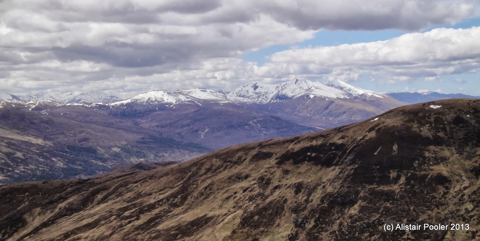
There were good views as I ascended, especially south-west towards the peaks to the north of Loch Mullardoch, where I had been walking back in November last year.

The peaks north of Loch Mullardoch
At around 1pm I reached the summit of Sgurr na Ruaidhe (Munro, Marilyn), where I stopped for lunch next to the cairn with truly fantastic views :-)

Summit of Sgurr na Ruaidhe
There were excellent views along the lower ridge to the east, along with the much snowier hills to the west towards Loch Monar.

Looking east from Sgurr na Ruaidhe
Looking towards the Loch Monar hills Sgurr na Ruaidhe
Sgurr a' Choire Ghlais & Carn nan Gobhar from Sgurr na Ruaidhe
I descended the NW ridge of Sgurr na Ruaidhe down to the bealach whilst enjoying the excellent views :-)  An ascent of just over a couple of hundred metres brought me to the summit of my second Munro of the day: Carn nan Gobhar (Munro, HuMP).

Looking NNW from Carn nan Gobhar towards Fisherfield
There were excellent views SW towards my next peak, which was significantly more snowy than the first two of the day.  In the distance towards the NW I could make out some of the Torridon and Fisherfield hills, which brought back memories of many happy days climbing those hills over the last few years :-)

Sgurr a' Choire Ghlais from Carn nan Gobhar
On the summit of Carn nan Gobhar
After a bite to eat by the summit cairn, I set off towards the imposing snowy peak of Sgurr a'Choire Ghlais, the highest of the Strathfarrar Four.  From a distance it appeared that I may need my ice axe, which I had carried today along with my crampons due to the unseasonable snow cover on the hills, however other than the very highest slopes I was able to avoid the snow as I ascended.

At around quarter past three I reached the snowy summit of Sgurr a'Choire Ghlais (Munro, Marilyn), which was marked by two cairns and a trig point.  There were excellent views west towards Sgurr Fhuar-thuill, which was the only one of these hills that Lynsey & I had managed to climb four years ago on our last TGO Challenge crossing together.

Sgurr Fhuar-thuill & Creag Ghorm a' Bhealaich from Sgurr a' Choire Ghlais
I visited both summit cairns along with the trig point, but didn't venture too close to the eastern edge of the small summit plateau as from below it appeared that it might actually be corniced!  The sky was quite moody towards the east, but no rain appeared :-)

Summit trigpoint on Sgurr a' Choire Ghlais
Snowy cairn on Sgurr a' Choire Ghlais
The south ridge of Sgurr a' Choire Ghlais
I descended the south ridge of Sgurr a'Choire Ghlais, mainly staying off the quite soft snow, until I was almost at the bealach to the north of Meall a'Gheur-fheadain.  I then picked my way down initially quite steep slopes to reach the floor of Coire Mhuillidh, with good views back to my first two hills of the day.

Looking back to Carn nan Gobhar and Sgurr na Ruaidhe
I waded the foot or so deep Allt Coire Mhuillidh to re-join my outward route, which I followed back down to the car in the glen.  I reached the car at around quarter to six after an absolutely fantastic day out walking in the hills :-)  I then headed back to the Aultguish Inn, where I had a pub dinner washed down with An Teallach ale to celebrate now having less than fifty Munros left to climb!

See here for my Social Hiking map from the day's walk.

N.B. 30/06/13 - Post date updated to actual date of walk, i.e. 17/05/13 (from 30/05/13).  Links to social hiking and hill-bagging also added.